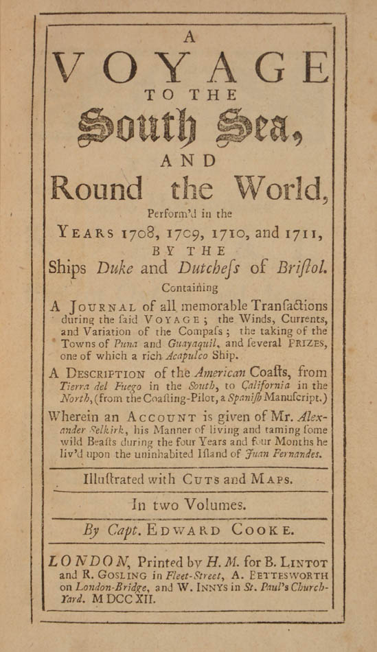
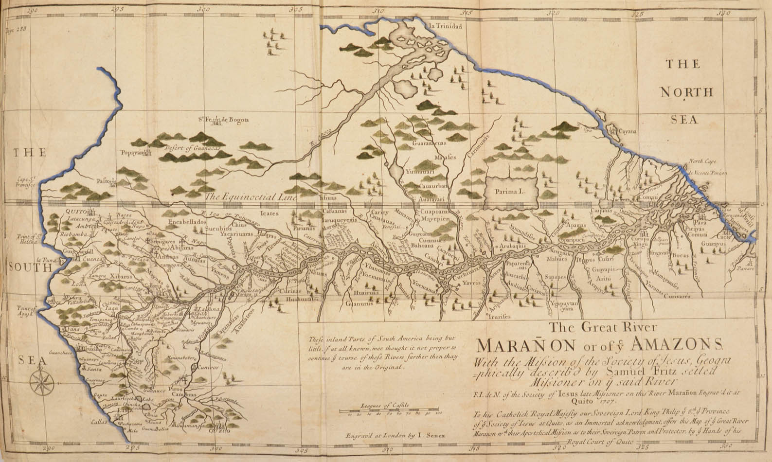
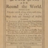
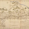
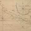
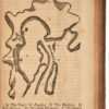
The preferred second and much enlarged edition of Cooke’s narrative of the buccaneering expedition with the ships Dutchess and Duke under the command of Captain Woodes Rogers, published in the same year as the first. The first edition had been rushed out to beat the account of the expedition’s captain, Woodes Rogers, into print. The present edition is increased by a whole volume and includes a coasting pilot for the American coast from Tierra del Fuego to California, illustrated with woodcuts. In addition to presenting an abundance of geographic and ethnographic information, this work is a remarkable source concerning New World fish and birds, which are described as well as illustrated. While the world map seems to be only a copy of Moll’s (California as an island), the folding map of the Amazon River is quite detailed, copying an engraving originally done in Quito for the Jesuit mission. It was this voyage that rescued Alexander Selkirk – the original for Robinson Crusoe – from Juan Fernandez Island, and it is generally accepted that Daniel Defoe used this account of the island and Selkirk’s time on it as material for his novel.
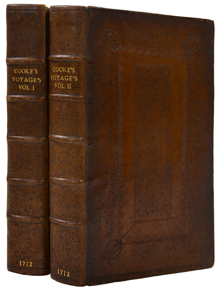
Second edition. 2 vols, 8vo, xxii, 432., [x (index)]; [iv], xxiv, 328 [viii (index)] pp., folding double-hemisphere engraved world map (hand-coloured in outline), 25 engraved maps, plans and plates (of which 6 folding), 3 folding tables, woodcut illustrations, some light foxing as usual, Amazon map hand-coloured in outline and with small repairs to verso, vol. I, pl. 9 with short tear repaired, fore-margin of pl. 11 with paper flaw, contemporary panelled calf, neatly rebacked, an excellent example.
[Hill (2004), 372; cf. Borba de Moraes, p206; Sabin, 16303; cf. Wagner, 77.]William Thomas Wyld (old inscription); Francis Buchanan (armorial bookplate); Frederick E. Ellis, Shaw Island (bookplate).